|
And here is an old
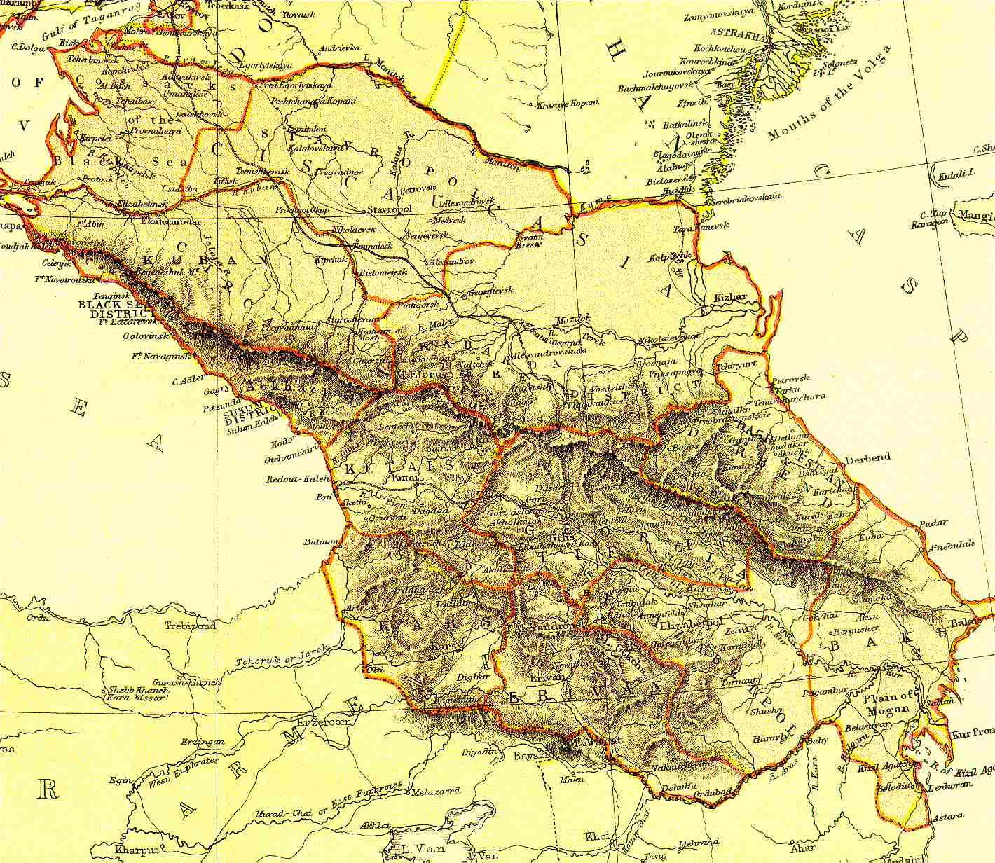
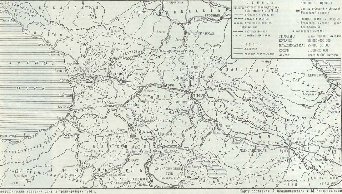
administrative map of Russian Georgia, as of 1914, and below – a black-and-white
map of Western Transcaucasia specially created in 1922 for a classified
manual for Red Army officers.
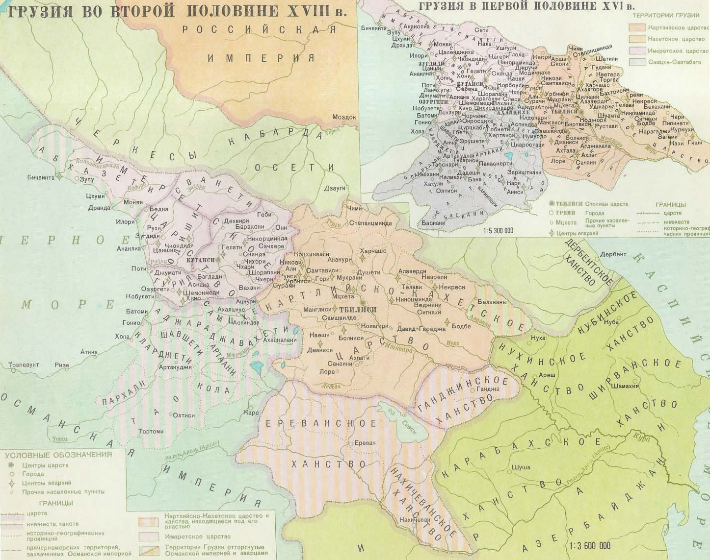
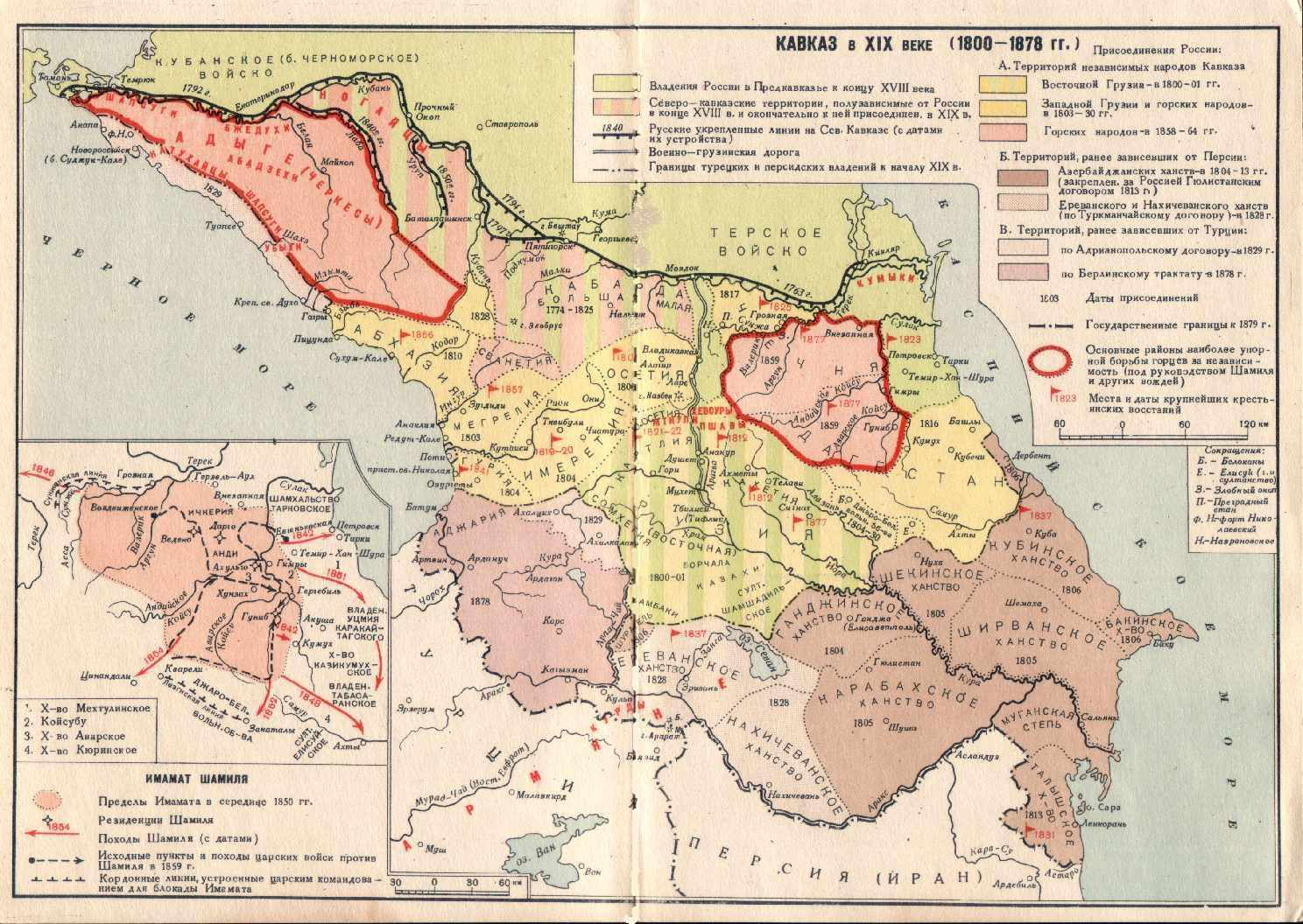
Where is Alania? In the Terek territory of course!
And where is “South Ossetia”?
It is non-existent its territory being within the provinces of Tiflis and Kutais (predominantly within the county of Gori).
Click on the maps for
better resolution 
Conclusion?
Well… it looks like if there was any “United Ossetia” that fell u nder the Russian sceptre in 1774 it was limited to modern “Northern Ossetia-Alania” of Russian Federation.
|